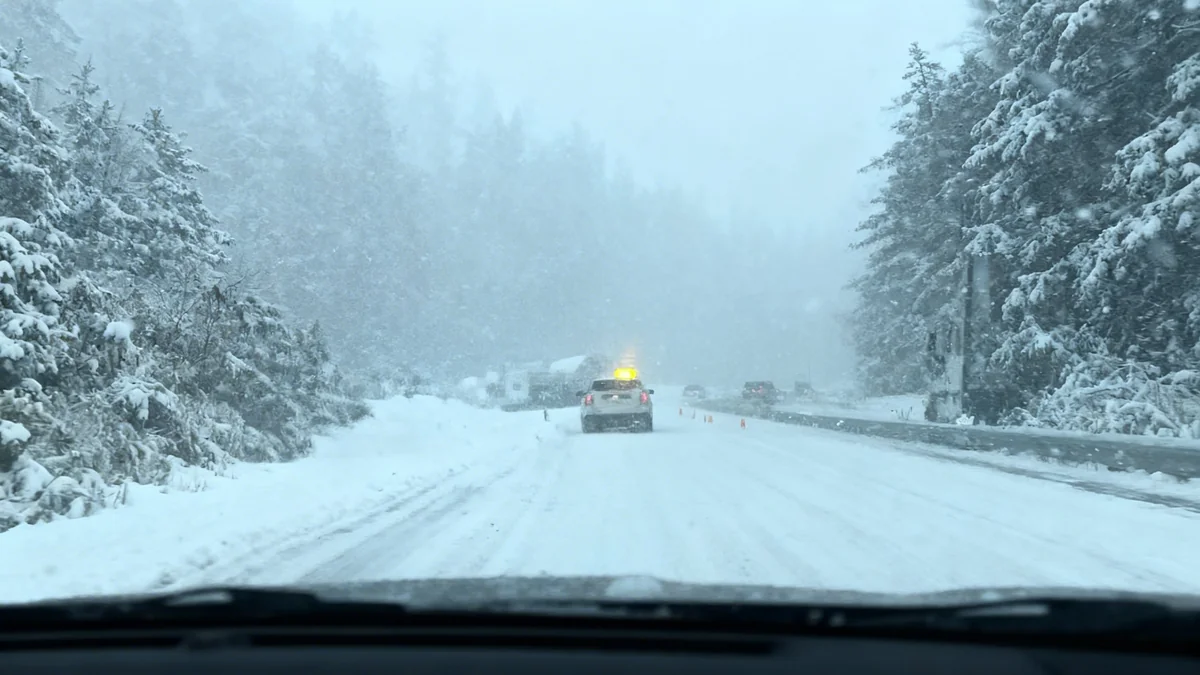

Heavy rainfall on Thursday, September 19, has led to significant road closures across the Morongo Basin. The California Highway Patrol (CHP) confirmed that several key routes are inaccessible due to flooding, mud, and rockslides. Drivers in the area should expect delays and plan alternative routes.
Key Takeaways
- Amboy Road is closed between National Trails Highway and Godwin Avenue.
- State Route 247 (Old Woman Springs Road) is closed north of Lucerne Valley.
- Closures are a direct result of heavy rain causing flooding, mud, and rockslides.
- Motorists are advised to check current road conditions before traveling.
Impact of Recent Weather on Local Roads
The Morongo Basin region experienced substantial rainfall on Thursday, September 19. This weather event caused immediate and widespread issues on local roadways. The ground became saturated, leading to runoff that carried debris onto several major thoroughfares.
Emergency services responded quickly to reports of hazardous conditions. The California Highway Patrol issued advisories regarding the closures to ensure public safety. These measures are critical to prevent accidents and allow for clearance operations.
Amboy Road Section Closed
One of the affected routes is Amboy Road. This road is a vital link for many residents and travelers in the area. According to the California Highway Patrol, the closure extends from National Trails Highway to Godwin Avenue.
The closure is due to flooding. Water accumulation made the road impassable for vehicles. Crews are working to assess the situation and begin cleanup efforts once conditions are safe. Drivers planning to use Amboy Road should seek different paths.
Fact: Road Closure Details
- Location: Amboy Road
- Between: National Trails Highway and Godwin Avenue
- Reason: Flooding
State Route 247 Experiences Disruptions
Another significant closure impacts State Route 247, also known as Old Woman Springs Road. This route is a primary artery connecting various communities. The closure specifically affects the section north of Lucerne Valley.
The issues on SR-247 are more complex than simple flooding. Heavy rains caused mud and rocks to slide onto the roadway. This debris poses a substantial hazard to drivers and requires specialized equipment for removal. The presence of large rocks makes the road unsafe for travel.
"Heavy rain hit the hi-desert Thursday, and several roads heading out of the Morongo Basin remain closed this morning due to flooding," stated a local news report.
Challenges for Commuters and Travelers
The closures of Amboy Road and SR-247 present considerable challenges. Commuters who rely on these roads for daily travel will need to find alternative routes. This could lead to longer travel times and increased traffic on open roads.
For visitors to the region, particularly those heading to areas like Twentynine Palms, Wonder Valley, or Yucca Valley, these closures will require careful planning. It is essential to check road conditions before starting any journey in the Morongo Basin area.
Background on Regional Roads
The Morongo Basin is a desert region in Southern California. Its roads are often vulnerable to flash flooding during heavy rain events. The terrain can lead to rapid water runoff and debris flows, especially after dry periods. Infrastructure is designed to manage typical weather, but extreme events can overwhelm systems.
Checking Road Conditions and Future Outlook
Authorities urge all drivers to stay informed about current road conditions. The California Department of Transportation (Caltrans) website is the official source for up-to-date information. Drivers can access this resource at https://roads.dot.ca.gov.
Crews are working to clear the affected roads. However, the exact timeline for reopening remains uncertain. It depends on the extent of the damage and the time required for safe removal of debris and water. Safety is the top priority during these operations.
Preparation for Future Weather Events
Residents in the Morongo Basin should remain prepared for future heavy rain events. This includes having emergency supplies and understanding local evacuation routes. Such preparedness can minimize risks during adverse weather.
Local authorities will continue to monitor weather patterns and road conditions. They will provide updates as new information becomes available. Following official advisories is crucial for everyone in the affected areas.
- Check Caltrans website for real-time updates.
- Allow extra travel time for detours.
- Avoid driving through standing water.
- Follow all posted road closure signs.