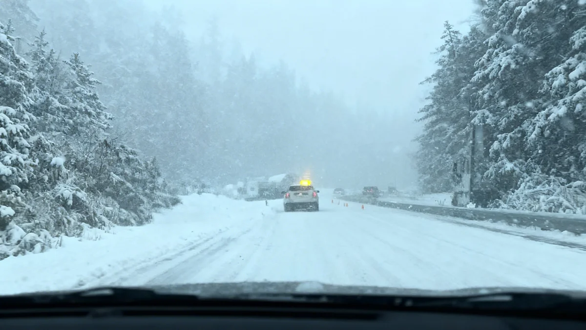
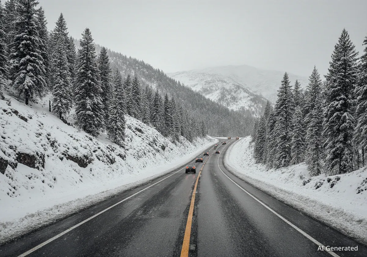
Northern California's major highways are beginning to reopen after a significant winter storm brought heavy snow and challenging conditions to the Sierra Nevada. Westbound Interstate 80 is now open to vehicle traffic, though restrictions remain for trucks. Highway 50 has also reopened in both directions, offering relief to travelers.
Key Takeaways
- Westbound I-80 is open for vehicles, closed to trucks.
- Highway 50 has reopened in both directions.
- Winter storm warning remains in effect until Thursday evening.
- Heavy snow expected to return Saturday night.
Sierra Highways See Partial Reopening
The California Department of Transportation (Caltrans) announced the partial reopening of critical routes through the Sierra Nevada. This follows several days of closures caused by a powerful winter storm. Travelers planning to use these routes should remain vigilant for changing conditions.
Eastbound Interstate 80 is expected to reopen later this afternoon. This will restore full access across the mountain pass for many drivers. The California Highway Patrol (CHP) had previously announced widespread closures due to dangerous conditions.
"Westbound I-80 is open to vehicle traffic, but remains closed to trucks," Caltrans District 3 stated in an update. "Highway 50 is now open in both directions."
Quick Facts
- I-80 closed from Colfax to Nevada state line.
- Highway 50 closed from Placerville to Meyers.
- State Route 88 closed from Dew Drop to Picketts Junction.
Storm Impacts and Ongoing Warnings
The winter storm caused significant disruption across Northern California. Whiteout conditions were reported in the higher elevations, making travel impossible. Spinouts on roadways, particularly on Highway 50, led to its closure from Point View Drive in Placerville to Meyers in El Dorado County.
State Route 88 also faced closures. It was shut down from Dew Drop in Amador County to five miles west of Picketts Junction in Alpine County. These closures were necessary to ensure public safety during the peak of the storm.
Background
Winter storms in the Sierra Nevada can bring heavy snowfall, strong winds, and dangerous driving conditions. These storms often lead to highway closures, impacting travel and local communities. Authorities prioritize public safety, closing roads when conditions become too hazardous.
Weather Outlook: More Snow Expected
Despite the current clearings, the National Weather Service (NWS) Sacramento office maintains a winter storm warning until Thursday evening. Heavy snow is forecast to intensify again Wednesday night through Thursday morning. This means travelers should anticipate renewed challenges.
After a brief break, another round of rain and heavy snowfall is expected to return Saturday night. The snow level could drop significantly, potentially reaching as low as 1,000 feet of elevation. This could bring snow to areas not typically affected by such storms.
Cities at Risk for Lower Elevation Snow
- Auburn: Sits at approximately 1,200 feet of elevation.
- Cameron Park: Also around 1,200 feet of elevation.
It remains uncertain exactly where the snow may fall at these lower elevations. Residents in these areas should monitor local weather reports closely. Preparation for potential snowfall is advised.
Traveler Information and Safety
Drivers planning to travel through the Sierra Nevada should check the latest road conditions before departing. Caltrans provides real-time updates on highway status and any remaining restrictions. Carrying chains is often mandatory in snowy conditions, even for four-wheel-drive vehicles.
Heavy snowfall can lead to reduced visibility, icy patches, and increased travel times. It is crucial for drivers to slow down, maintain a safe distance from other vehicles, and avoid unnecessary travel during active storm periods.
Emergency kits are also recommended for mountain travel. These kits should include extra blankets, food, water, a flashlight, and a fully charged cell phone. Being prepared can make a significant difference in unexpected situations.
Impact on Local Communities
The prolonged highway closures have an impact on mountain communities and businesses. Supply chains can be disrupted, and tourism often slows during severe weather events. The reopening of roads helps alleviate some of these pressures.
Local residents are accustomed to these winter challenges. They often rely on accurate weather forecasts and road condition updates to plan their daily activities. The community spirit in these areas remains strong during adverse weather.
Staying Informed
Travelers and residents can stay informed by:
- Checking the Caltrans website for road conditions.
- Monitoring National Weather Service updates.
- Following local law enforcement social media channels.
Safety should always be the top priority when navigating winter weather in the mountains. Adhering to official advisories helps ensure everyone's well-being.