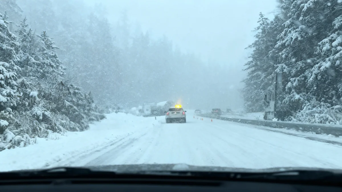

Commuters in Fairfield County, Connecticut, experienced extensive traffic delays on Monday morning, September 29, 2025. Both Interstate 95 (I-95) and the Merritt Parkway reported congestion exceeding 15 miles. State transportation officials monitored the situation and provided updates throughout the morning.
Key Takeaways
- I-95 and Merritt Parkway saw over 15 miles of delays.
- Congestion was most severe in Norwalk on Route 15 Southbound.
- Delays on I-84 in Danbury/Newtown cleared by late morning.
- Weather for Monday included partly sunny skies and a high near 77 degrees.
Morning Commute Impacts
The morning rush hour on Monday, September 29, 2025, brought significant challenges for drivers in Fairfield County. The Connecticut Department of Transportation (DOT) reported severe congestion on major roadways. These included Interstate 95 and the Merritt Parkway, vital routes for daily commuters.
Initial reports indicated delays stretching for more than 15 miles on both highways. This caused extended travel times for thousands of individuals heading to work or other destinations. The congestion began early in the morning, affecting the peak travel period.
Specific Areas of Congestion
One of the most impacted areas was Norwalk. Route 15 Southbound, part of the Merritt Parkway, experienced heavy delays. Traffic was congested between Exits 17B and 10, a stretch of approximately 7.0 miles. This specific bottleneck was first reported at 6:08 am.
"There are already delays in excess of 15 miles on both I-95 and the Merritt Parkway in Fairfield County," stated an early morning report from the state Department of Transportation.
Traffic Fact
According to the U.S. Census Bureau, Fairfield County is Connecticut's most populous county, with over 950,000 residents, contributing to high traffic volumes on weekdays.
Updates and Resolution
As the morning progressed, the Department of Transportation continued to provide updates. By 9:57 a.m., some of the larger delays on I-95 and the Merritt Parkway had significantly decreased. This indicated an easing of the most severe congestion.
Additionally, delays on I-84 in the Danbury and Newtown areas, which had also been reported earlier, were cleared. This improvement allowed for smoother travel on that particular interstate. Commuters were advised to check traffic updates regularly for the latest information.
Factors Contributing to Traffic
Several factors can contribute to such widespread traffic delays. These often include the sheer volume of vehicles during peak hours, minor incidents, or construction work. While no specific incidents were highlighted as the primary cause for Monday's widespread delays, the combination of high demand and critical routes likely played a role.
The state's transportation infrastructure is constantly under strain from the daily movement of people and goods. Planning for such congestion is a continuous process for traffic management authorities. They aim to minimize disruption through real-time monitoring and public advisories.
Background on Connecticut's Highways
I-95 is a major north-south interstate highway along the East Coast of the United States, running through Connecticut. The Merritt Parkway (Route 15) is a historic limited-access parkway that serves as a key commuter route in Fairfield County, known for its scenic design and restricted commercial vehicle access.
Weather Conditions for the Day
The National Weather Service provided the weather forecast for Fairfield County. For Monday, September 29, the forecast called for partly sunny skies. The high temperature was expected to be near 77 degrees Fahrenheit. A north wind around 6 mph was anticipated to become southeast in the afternoon.
Monday night was predicted to be mostly cloudy with a low around 60 degrees. Calm winds were expected. These mild weather conditions generally do not contribute to traffic issues, suggesting that volume was the main factor in the morning's delays.
Outlook for Tuesday
The weather outlook for Tuesday, September 30, indicated mostly cloudy conditions. The high temperature was expected to be near 79 degrees. A northeast wind of 6 to 9 mph was forecast, with gusts potentially reaching as high as 24 mph by Tuesday night. The night would gradually become mostly clear, with a low around 51 degrees.
- Monday High: Near 77°F
- Monday Night Low: Around 60°F
- Tuesday High: Near 79°F
- Tuesday Night Low: Around 51°F
These forecasts help residents plan their commutes and daily activities. Weather can sometimes impact road conditions, but for Monday, the primary challenge was traffic volume.