A wide band of severe winter weather is impacting the United States, stretching from the West Coast through the Midwest and into the Northeast. The conditions have caused significant travel disruptions, including thousands of flight delays and cancellations, alongside dangerous driving conditions and localized flooding risks.
Major cities, including Chicago, have experienced heavy snowfall, while the Pacific Northwest faces a series of atmospheric rivers bringing flood warnings and mountain snow. The varied weather patterns present challenges across different regions, from heavy snow removal to flash flood preparedness.
Key Takeaways
- Over 7,000 flights delayed, nearly 600 canceled nationwide.
- Chicago O'Hare and Atlanta airports heavily impacted.
- Heavy snow reported in Plains and Great Lakes, up to 9.4 inches in South Dakota.
- Southeast experiences persistent rain and isolated severe storms.
- Pacific Northwest under flood alerts with atmospheric rivers bringing heavy rain and mountain snow.
- Fatal incident in Washington State due to falling tree.
Midwest and Northeast Brace for More Snow
The wintry weather system first affected the Rockies and the northern Plains. Overnight, heavy snow extended into the Great Lakes region, hitting major population centers like Chicago. On Sunday, this snowfall shifted eastward into the Northeast.
Many areas in the Great Lakes region, particularly Iowa, could see between 2 to 5 inches of snow, with some parts receiving up to 6 to 8 inches. The Northeast is projected to get a lighter dusting, with up to 3 inches anticipated. This fast-moving system is expected to clear by early Monday morning.
Snowfall Snapshot
- Canton, South Dakota: 9.4 inches
- Ames, Iowa: 8 inches
- Rockford, Illinois: 5.7 inches
- Chicago O'Hare area: 4 inches
Chicago residents spent Sunday clearing snow from cars and sidewalks. Ashley Reich, a local resident, noted the timing.
"It’s fun to have a little bit more of a winter wonderland before Christmas," Reich stated.
However, not all residents found the snow enjoyable. Isaac Norwich, who moved to Chicago four years ago, described it as the worst snowfall he has seen since arriving.
"It definitely seems like this has been the worst winter," Norwich commented. "Like, this is what people have prepared me for when they said, like, ‘Oh, Chicago winters are a lot of snow.’"
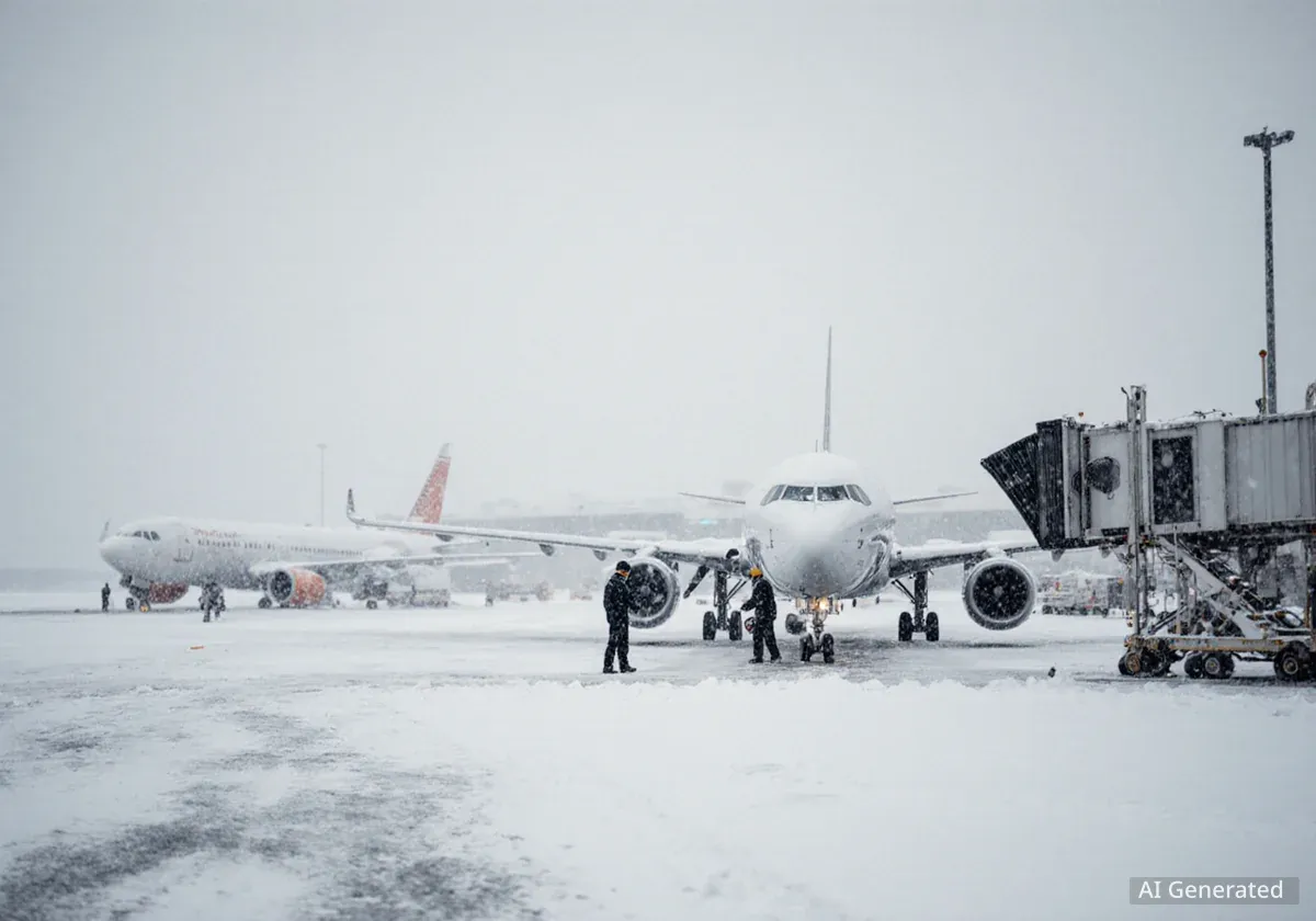
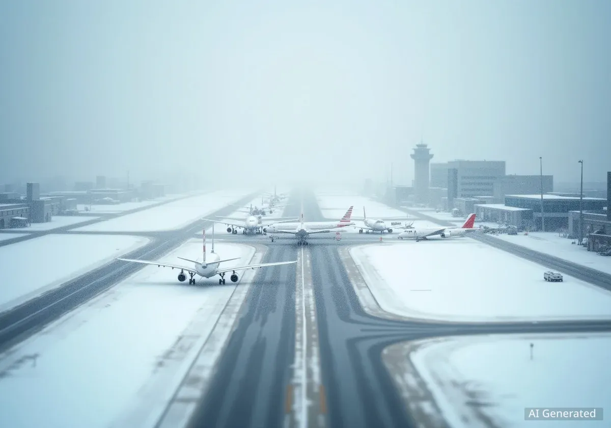
Widespread Air Travel Disruptions
The severe weather has caused significant disruptions to air travel across the country. As of Sunday afternoon, more than 7,060 flights within, into, or out of the U.S. were delayed. Additionally, 591 flights were canceled.
Major Airport Impacts
Chicago O’Hare International Airport experienced a substantial share of these issues, reporting over 1,270 delays and 292 cancellations. Hartsfield-Jackson Atlanta International Airport also faced severe disruptions, with more than 1,244 delays and 147 cancellations. North Carolina’s Charlotte Douglas International Airport recorded nearly 630 delays and 42 cancellations.
The Federal Aviation Administration (FAA) confirmed that departures to O’Hare faced delays exceeding two hours due to adverse weather conditions.
Soggy Southeast and Appalachian Snow
While the Midwest and Northeast deal with snow, the Southeastern region of the U.S. continues to experience persistent rain. A strong line of storms stretches from the central Gulf Coast into the Carolinas. Parts of Florida and Georgia have already received over an inch of rain this weekend.
An additional half-inch to 2 inches of rain is possible through Sunday night. A marginal risk of severe weather remains for parts of the Florida Peninsula, with isolated flash flooding and frequent lightning expected. Some storms could become severe, bringing damaging wind gusts and the potential for brief tornadoes.
On the northern edge of this system, scattered snow showers are expected to develop Sunday evening. These showers will target parts of the Appalachians in North Carolina, Virginia, and West Virginia. Winter Alerts are in effect for this region through Monday evening, with a dusting of up to 3 inches of snow possible.
Pacific Northwest Faces Flooding and High Winds
The Pacific Northwest is entering an active weather period characterized by rain and snow showers. Multiple systems, fueled by atmospheric rivers, are increasing the risk of flash flooding, heavy mountain snow, and strong wind gusts.
Tragically, a 44-year-old woman died Saturday in Washington State when a tree fell onto her car on State Route 203. The Washington State Patrol confirmed this was a weather-related incident. Another person involved in the crash was airlifted to a local hospital with life-threatening injuries.
Approximately 8 million people are under flood alerts across western Washington and Oregon through Friday. This includes major cities such as Seattle, Tacoma, Portland, and Eugene.
Rainfall and Snowfall Projections
- Coastal Washington and Oregon: First wave of rain Sunday, heavy rain and flash flooding expected Monday morning.
- Persistent Waves: Rain will continue through Monday, with another surge of moisture Tuesday night through Wednesday.
- Rainfall Totals: Through Wednesday night, 2 to 5 inches of rain are expected, with lower elevations of the Cascades and Olympics potentially receiving 6 to 10 inches, and up to 12 inches in some isolated areas.
- Mountain Snow: Snow levels will be higher, with feet of snow anticipated above 6,000 to 7,000 feet in parts of the Cascades, Olympics, and northern Rockies.
Strong wind gusts will also impact the region. Along the coasts of Washington and Oregon, gusts could range from 30 to 50 mph. In Montana, high wind alerts are in effect, with gusts up to 70 mph possible Monday night into Tuesday.